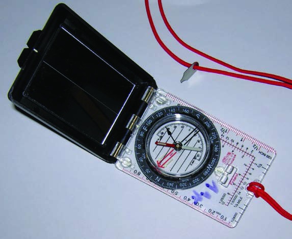
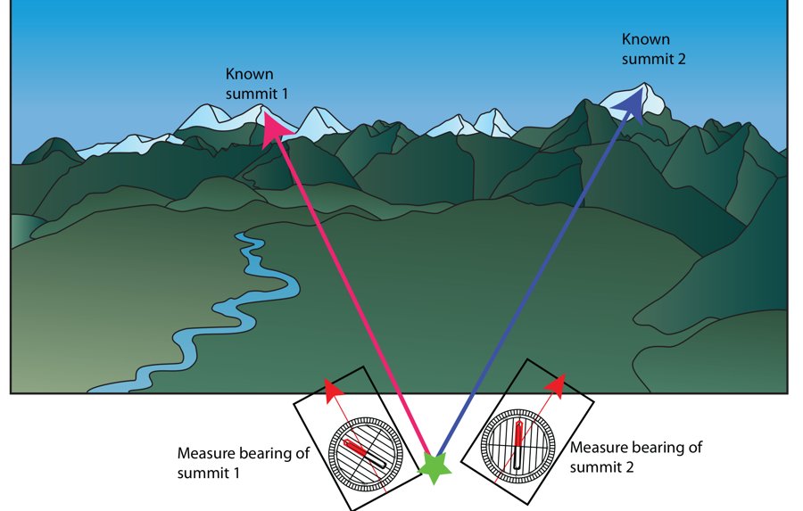
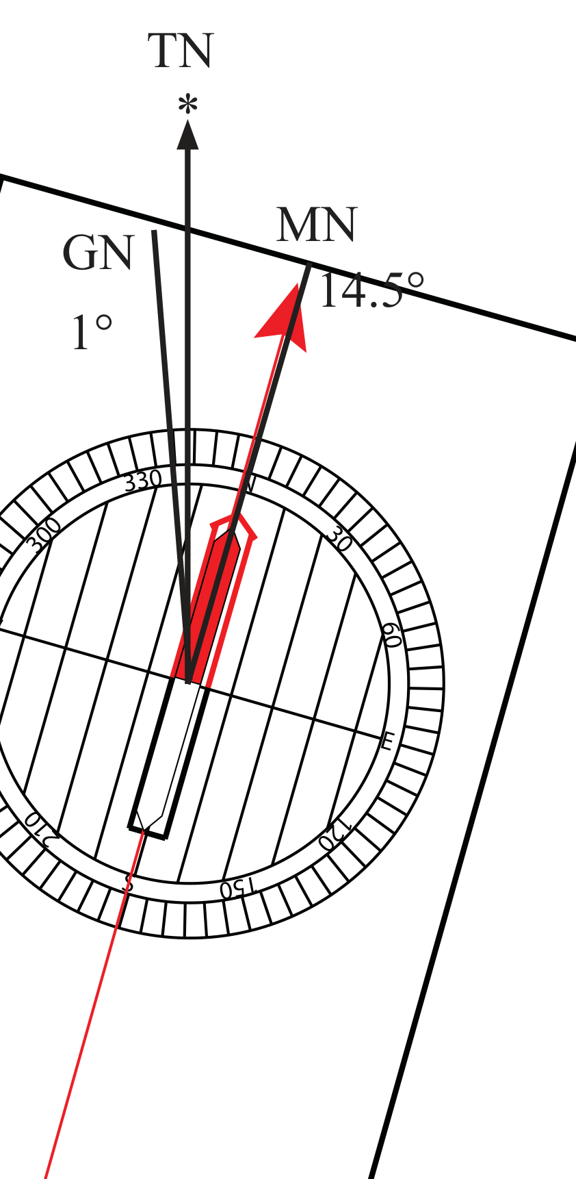
Notes from my own experience with navigation skills using maps, compass, altimeters and GPS — focused on map reading, compass use, orienteering, route planning and navigation in the mountains or backcountry. Have a look at the slides below, and send me your comments and suggestions.
Have safe trips. Be prepared.
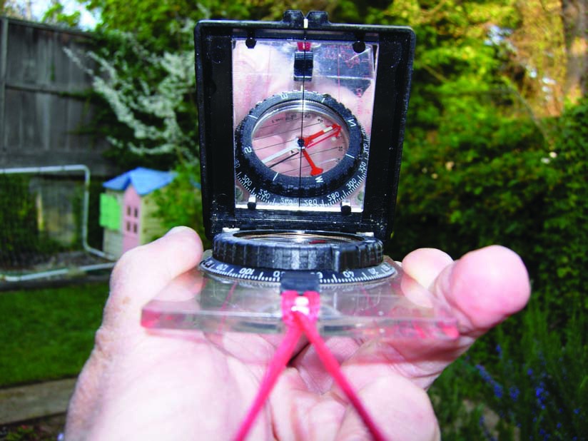
Practical navigation for mountain travelers
69-page PDF slide deck (10 MB).
Navigation spreadsheet
For use with map, compass and altimeter in the field (xls, 13 kB).
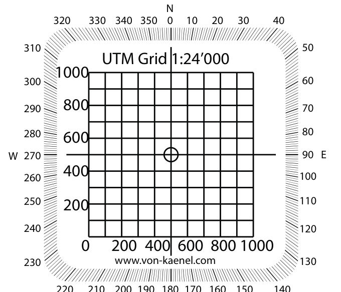
UTM grid overlay
Free overlay for 1:24,000 and 1:50,000 maps (PDF).
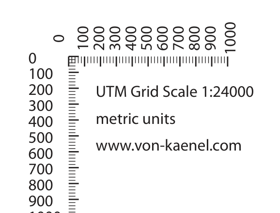
UTM grid for various scales
Print without scaling (PDF).
Interactive tools
These used to be Flash animations. They've been rebuilt as interactive, working tools.